Note 25th Oct 2018 – These trails were used to promote the Community Consultation for the WNP, the pages relating to them have been kept as there is a move to make them more permanent. Many of the markers have been removed but the points of interest remain so it’s still possible to follow the routes. The route maps and the route marker board prints with the questions can also be downloaded below but there are no more prizes!
The parish of Warmington covers an area ranging from Fotheringhay Bridge in the West to to America Farm in the East, with the A605 running North-South through the middle. The geography of the village itself can be confusing especially if you only regularly visit one part of it. So to help you get a bit more familiar with your home area, and perhaps discover some of its hidden secrets, we have set up some ‘trails’ around the area. The idea is to give children and families a reason for walking, cycling or riding round the village and parish to discover things that maybe not everyone is aware of. It’s also something to do in the holidays and there will be prizes (for children). There is a serious side to this as the prospective development sites and other points that may influence the Neighbourhood Plan feature on the trails.
There are over 30 points of interest in two groups – the Village group, for those within or close to the Village, and the Parish group, that span out beyond the settlement boundary across the countryside.
You can download Trail Maps that show the points of interest together with 5 suggested routes, but you can visit the points in any order by any route you choose. The individual route markers and questions are also available for the village trail and the parish trail. Two ‘scorecards’ for the Village and Parish points will allow children to collect points by answering questions displayed at each point of interest.
We are also interested in photos of the points of interest which you can send on Instagram #warmington2031 or share to photos@warmington2031.org, we hope to use the best photos in the final Neighbourhood Plan.
Completed scorecards can be put into the consultation survey collection boxes in the shop, the telephone box or the church entrance, or you can take a photo or scan them and email to trails@warmington2031.org.
Red Kites?
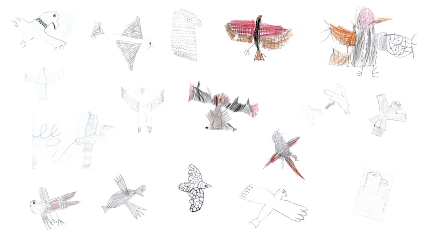
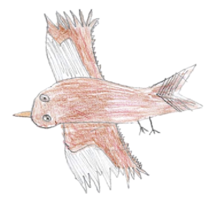
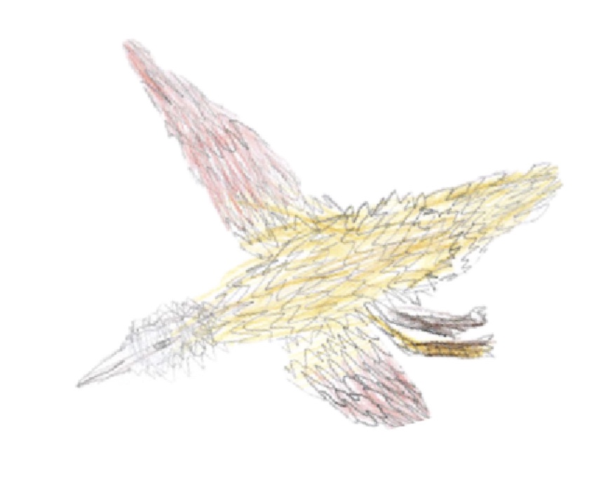
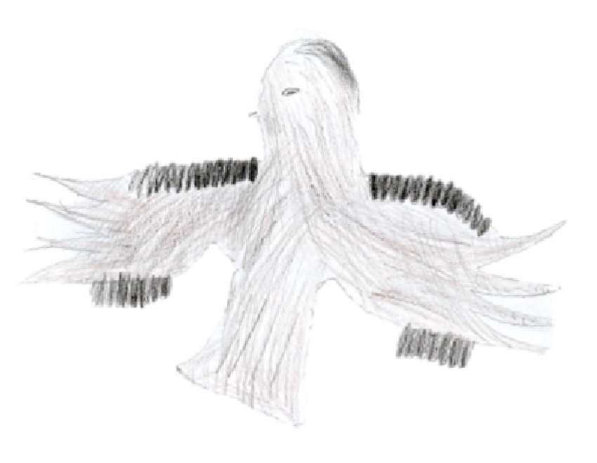
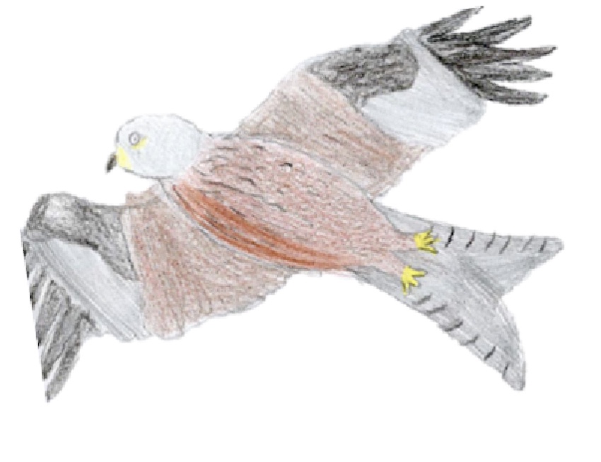
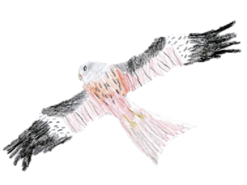
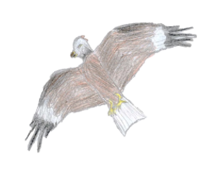
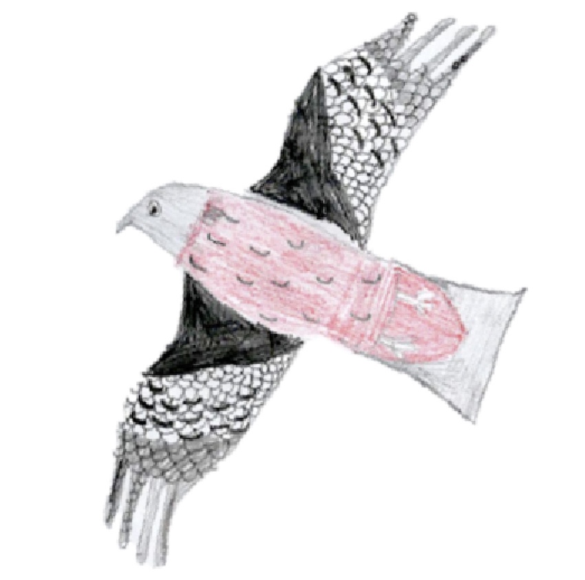
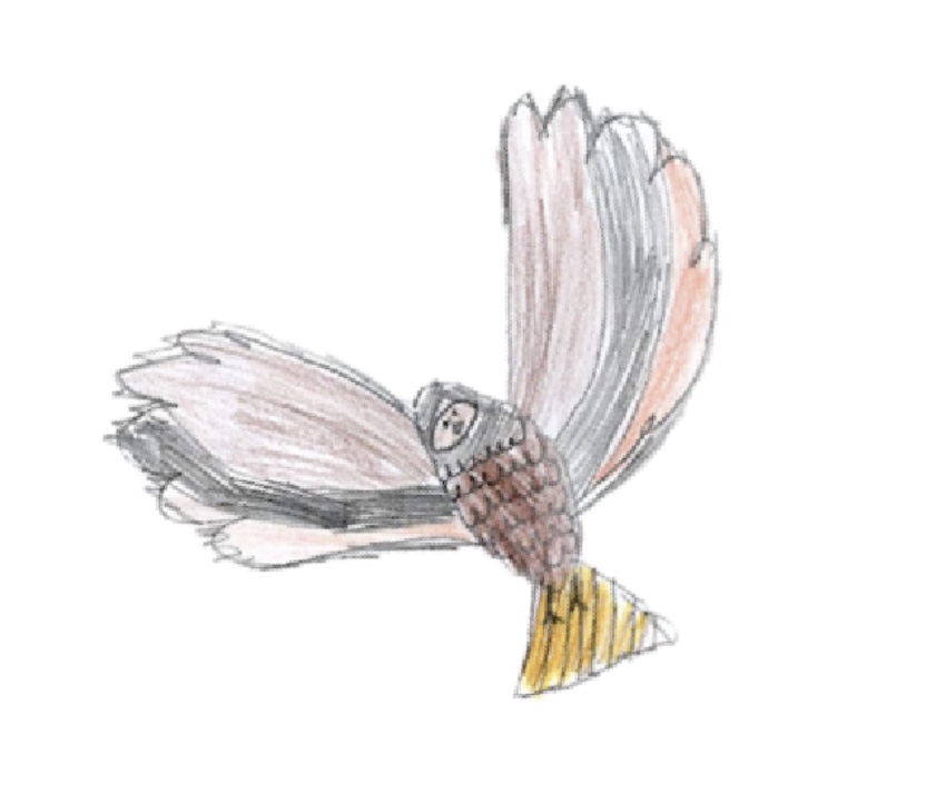
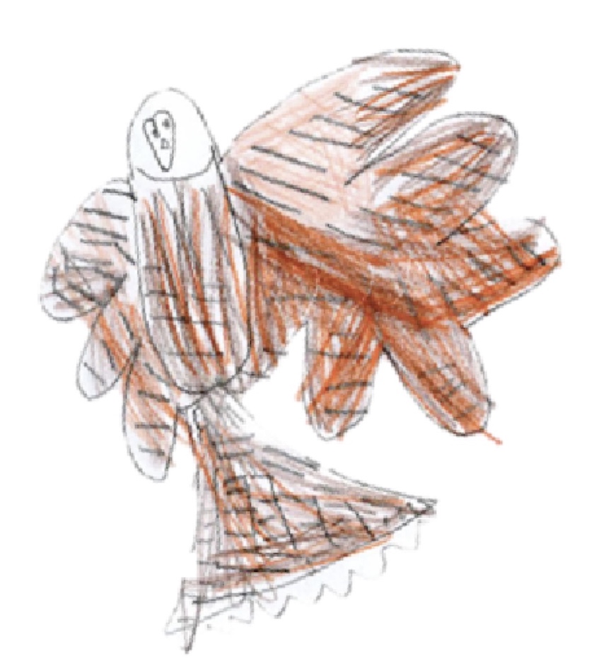
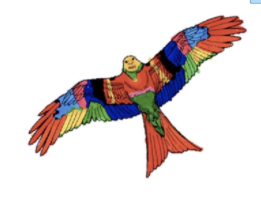
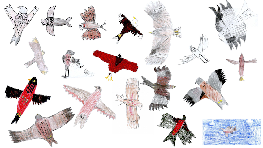
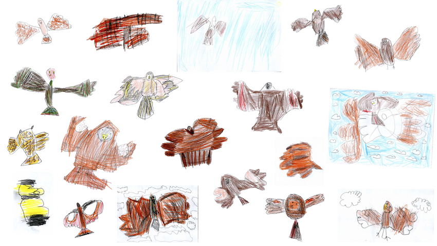
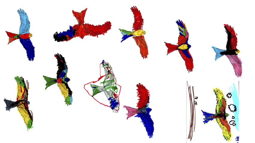
Everyone in Warmington has hopefully admired these birds so we’ve adopted them as a symbol for the trails – each trail marker will have a Red Kite logo on it and these have been drawn for us by the children of Warmington Primary School. Every child drew one and we asked a couple of ornithologists to select a group of them to use on the marker boards – a big thanks to ALL the children for helping us you can view all their pictures here.

