All levels of the planning system should contribute to protecting and enhancing our natural environment; this includes helping to improve biodiversity, using natural resources prudently, minimising waste and pollution, and mitigating and adapting to climate change including moving to a low carbon economy.
It is only when a development occurs including a change of use of land, that the planning system can have any influence.
In the context of the Warmington Neighbourhood Plan, the natural environment of Warmington Parish broadly consists of the following elements:
- Landscape character
- Habitats within the landscape
- Species within the habitats
- Green infrastructure -linking habitats together
- Green spaces within the village
Landscape character:
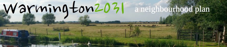
Warmington Parish extends from the river Nene and its flood meadows through the river terraces to the boulder clay hills bordering the Nene valley. There is intensive arable on the main river terrace with pockets of permanent pasture remaining. There are no ancient woodlands in the parish. The plantation woodlands, mainly on the boulder clay areas, are not actively managed but some are used for pheasant rearing and feeding. Important landscape features include the ridge and furrow, medieval settlements and pattern of hedges.
Habitats within the landscape
Although Warmington Parish has no statutory nature conservation or geological designations, it is part of the Nene Valley Nature Improvement Area (NIA) which aims to bring together local organisations and communities to create more and better-connected habitats and to provide space for wildlife to thrive and adapt to climate change. There are other initiatives such as the Nene Valley Strategic Plan which will be important in the long-term planning of the use and management of the Nene Valley as a whole.
Habitats within Warmington Parish include: The River Nene, flood meadows and willows, the mill race and wet woodland, flooded gravel pits, plantation woodlands, permanent pasture, hedges and arable field margins, ponds and stone walls.
Species within the habitats:
As of 28/01/2018 the National Biodiversity Network Atlas displays 8,083 records of 632 species within Warmington Parish. These were recorded between 1940 and 2017 with the majority recorded between 2003 and 2015. Undoubtedly, the number of species actually occurring is far higher than those recorded in the Atlas, although a number have been lost in the last 25 years such as spotted flycatcher, turtle dove and grey partridge. Protected species occurring in the parish include otter, soprano pipistrelle bat, kingfisher, barn owl, red kite and great crested newt. Invasive species such as Himalayan balsam and Canada goose are present, but the data has not been made available to the NBN Atlas. Further recording could be encouraged to give a fuller picture of the biodiversity of Warmington.
Green Infrastructure
Corridors which link habitats and allow species to travel them are important. Most hedgerows in the parish date from the Enclosure period. They vary in value to wildlife and there is potential for improving links. The river corridor is important for the movement of wildlife and the network of footpaths and green lanes have the potential for improving linkages for wildlife.
Green Spaces within Warmington Village
The Green Spaces with public access include: The Fun Field, allotments, children’s play area and park in Nene Pastures, two Pocket Parks, St Marys Close green, churchyard, cemetery, wide grass verges e.g. Big Green, Little Green, Broadgate Way, Eaglethorpe and Taylors Green. Those in private ownership include parcels of land designated in the last Local Plan and carried forward as Important Open Land in the village – (Policy EN20 Protection of Important Open land). Also, at the Gravel pit at Eaglethorpe there will be access to a hide (yet to be constructed) to view the wetland habitats created there.
The Warmington Neighbourhood Plan gives an opportunity to give protection to specific views and green spaces and indicate other open spaces which the community values and which should not be developed. This is done by identifying areas of land known as Local Green Space which is of particular local significance and which should be protected from new development in a similar way to Green Belt. The Neighbourhood Plan has to set out clearly the justification for such areas if we wish to include them, and this is set out in the NPPF (Paras 76, and 77)
Issues raised at open event
- Retain and manage informal green space in and around village including pocket parks, verges and allotments.
- Use local contractor to maintain footpaths and verges.
- Strong feeling against further gravel extraction on water meadows (this was the biggest single issue response and also impacts greenway, footpaths, A605 traffic)
- Taylors Green area suggested as ‘quiet lane’ and to be protected from development (see also Traffic and Transport)